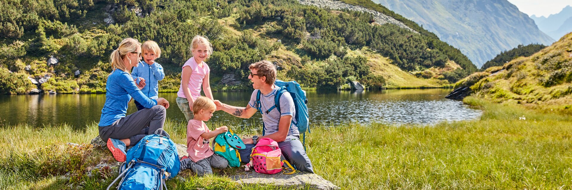
Bergsee in den Tiroler Alpen Bergsee in den Tiroler Alpen

Hiking routes Galtür

The short hikes in Galtür lead to impressive reservoirs, promise summit views and are ideal for recharging your batteries.

The Kops Reservoir and Zeinissee lake are located in the Vorarlberg region but are easily accessible from Galtür by car or bus. Visitors wanting a more comfortable excursion can walk around the idyllically located Zeinissee lake. Those who prefer a sportier challenge can walk around the neighbouring Kops reservoir. Both tours are largely flat and can also be combined. Relaxing by the water’s edge is also the perfect way to spend your time.

Start | destination Zeinis car park
Walking time Zeinissee circular walk ca. 30 min | Kops Reservoir circular walk ca. 1.5h
km Zeinis 1.5 km | Kops 4.4 km

The Sonnenkogel is a small hilltop above Galtür where you are rewarded after the short ascent (approx. 200 m altitude) with magnificent views of the pyramid-shaped Galtür local peaks – the Gorfenspitze at 2,558 m and Ballunspitze at 2,671 m. The panoramic views are particularly impressive at sunrise and sunset. You can choose to return along the same route or via Tschaffein.

Start | destination Galtür village square
Walking time ca. 1.5 – 2 h
km 4 or 5 km with way back via Tschaffein

The Silvretta reservoir on the Bielerhöhe is located in Vorarlberg and can be comfortably accessed by car or bus via the legendary Silvretta high Alpine road. Here you are rewarded with views of the famous Piz Buin, the highest peak in the Silvretta group at 3,312 m. Visitors who simply want to soak up the atmosphere can stroll along the banks; a circular walk around the lake takes around 1.5 hours and is almost entirely flat.

Start | destination Bielerhöhe
Walking time ca. 1.5 h
km 7 km


The ‘Steinmannli’ (stone man) is located above the Jamtalhütte at 2,165 m and can be reached either on foot (from Galtür in 2.5 hours) or by Jamtal taxi (info. from Galtür tourist office). This stone structure stands 2 m high and is in the shape of a small man. It is approx. 30 minutes away from the Jamtalhütte. The route is surrounded by the 3,000 m peaks of the ‘Blue Silvretta’ and offers magnificent views.

Start | destination Jamtalhütte
Walking time ca. 45 min
km 1 km

Set off from Galtür village square and walk towards the sports and culture centre where a short ascent then leads up to the Jamtal valley. The route leads past the Alpe Egg hut (non-catered) into the valley where you can take a forest trail on the opposite side of the brook back to the village. Those who wish can walk a further 500 m into the Jamtal valley from the Alpe Egg where the Menta Alm (catered) serves delicious regional treats – the perfect place to take a break. The powerful Jamtalferner is visible along most of the walk. The Jamtalhütte hut is a popular destination for hikers and mountain climbers and is approx. 2.5 hours away from Galtür.

Start | destination Galtür village square
Walking time ca. 1 h
km 3.5 km
Map TIROL